Lakes of Lincoln
Our amazing bodies of water
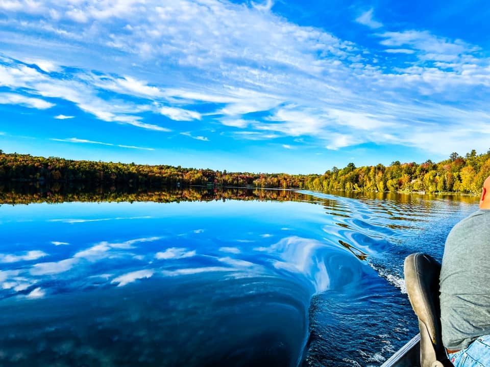
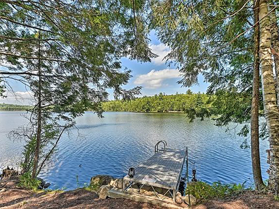
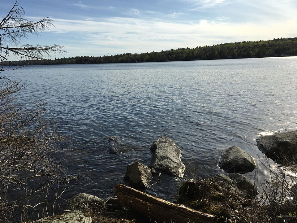
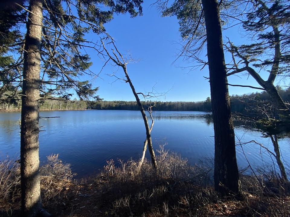
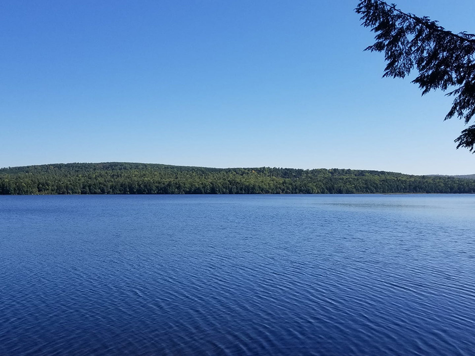
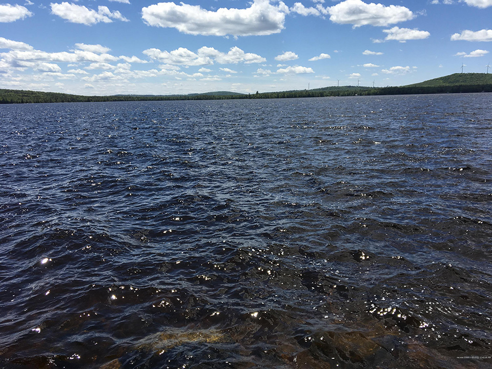
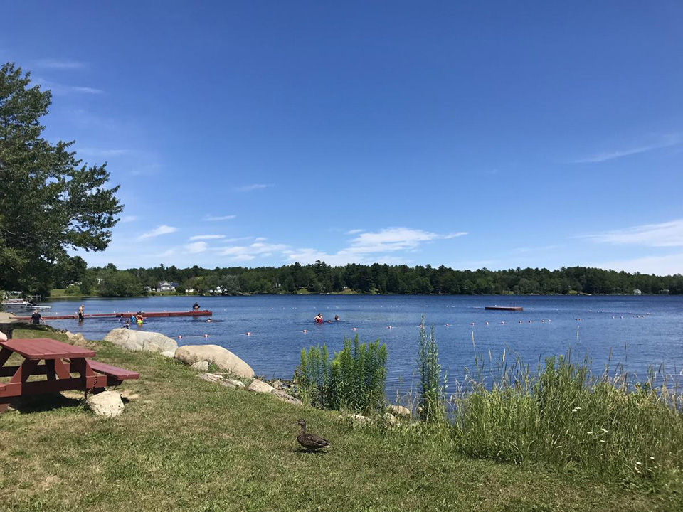
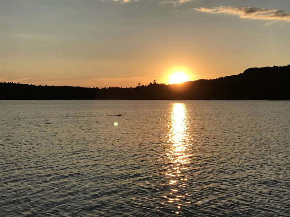
Lincoln, Maine is a premiere spot for any recreational activity involving water. With more than 70 miles of lake frontage on 13 lakes, there’s no shortage of places to fish – summer and winter, swim, ski, or just have a cook-out next to water. Some of our lakes have a boat landing as well. Bass, trout and salmon are very common
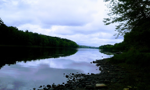
Another body of water winding its way through Lincoln is the Penobscot River. Originating from four lakes in Northern Maine, the Penobscot River flows 109 miles through the state, making it the longest river in the state. The Penobscot River is one of the top 10 bodies of water for small mouth bass fishing in the entire country, and Lincoln has almost 20 miles of shoreline along this beautiful body of water. Fishing isn’t the only activity on the Penobscot; whitewater rafting is also very popular, and trips start in nearby Baxter State Park.
Fishing anywhere in Maine requires a valid fishing license, which may be purchased online or at many local stores throughout the state. Maine is broken up into two zones, and laws in each zone may be different; further, each body of water may have differing rules. The Maine IF&W website linked below is the best source of rules and regulations for fishing in the state. We recommend you download the Guide Book, and keep a printed copy so you can make sure you are staying within the rules and guidelines for the body of water on which you are fishing. The website and book are great resources to ensure your fishing trip is legal and enjoyable. If you have any questions IF&W can be reached at (207) 287-8000 or via email.
Cambolasse Pond
Area (acres): 211
Perimeter (miles): 2.8
Mean Depth (feet): 15
Max Depth (feet): 36
Fish:
Smallmouth Bass
Yellow Perch
Chain Pickerel
White Perch
Center Pond
Area (acres): 202
Perimeter (miles): 3
Mean Depth (feet): 7
Max Depth (feet): 12
Fish:
Yellow Perch
Chain Pickerel
White Perch
Small & Large Mouth Bass
Cold Stream Pond
Area (acres): 3619
Perimeter (miles): 21
Mean Depth (feet): 40
Max Depth (feet): 104
Fish:
Lake Trout
Yellow Perch
Chain Pickerel
Landlocked Atlantic Salmon
White Perch
Public Boat Launch:
(primitive, carry in site) 45° 17′ 49.631″N / 68° 31′ 32.268″W 19 Go Devil Road
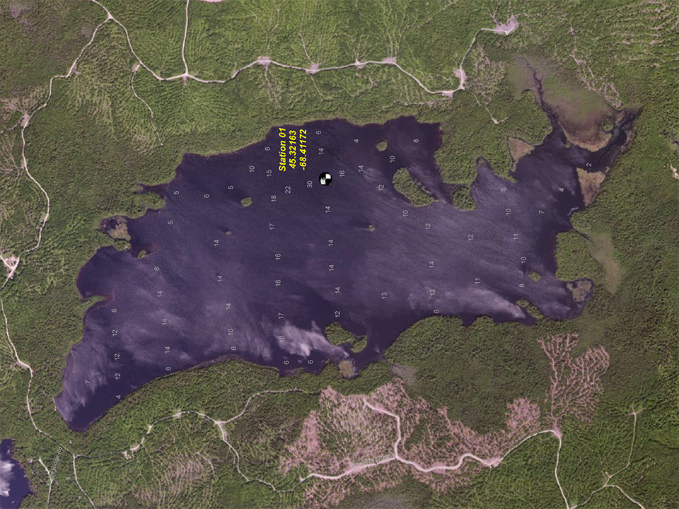
Crooked Pond
Area (acres): 240
Perimeter (miles): 4.3
Mean Depth (feet): 13
Max Depth (feet): 30
Fish:
Smallmouth Bass
Yellow Perch
Chain Pickerel
White Perch
Folsom Pond
Area (acres): 385
Perimeter (miles): 8.8
Mean Depth (feet): 7
Max Depth (feet): 19
Fish:
Smallmouth Bass
Yellow Perch
Chain Pickerel
White Perch
Public Boat Launch:
(can also access Crooked Pond) 45° 20′ 28.428″N / 68° 26′ 53.771″W 500 Folsom Pond Road
long, egg & caribou
Area (acres): 823
Perimeter (miles): 14.1
Mean Depth (feet): 16
Max Depth (feet): 46
Fish:
Smallmouth Bass
Yellow Perch
Chain Pickerel
White Perch
Public Boat Launch:
45° 24′ 35.207″N / 68° 26′ 6.468″W Long Pond Road
Madagascal Pond
Area (acres): 868
Perimeter (miles): 6.5
Mean Depth (feet): 13
Max Depth (feet): 35
Fish:
Smallmouth Bass
Chain Pickerel
White Perch
mattanawcook Pond
Area (acres): 830
Perimeter (miles): 11.4
Mean Depth (feet): 9
Max Depth (feet): 22
Fish:
Smallmouth Bass
Yellow Perch
Chain Pickerel
White Perch
Lake St Boat Ramp
Public Boat Launch:
45° 21′ 43.848″N / 68° 30′ 4.319″W Lake Street
little round pond
Area (acres): 81
Perimeter (miles): 1.9
Mean Depth (feet): 8
Max Depth (feet): 15
Fish:
Brook trout
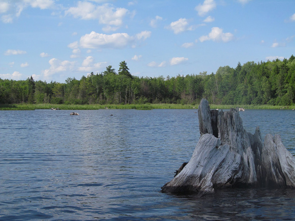
stump/snag pond
Area (acres): 202
Perimeter (miles): 3
Mean Depth (feet): 7
Max Depth (feet): 13
Fish:
Largemouth Bass
Smallmouth Bass
Yellow Perch
Chain Pickerel
White Perch
Frost Street Boat Ramp
Public Boat Launch:
45° 23′ 2.363″N / 68° 28′ 37.271″W Frost Street
upper cold stream Pond
Area (acres): 648
Perimeter (miles): 5.1
Mean Depth (feet): 28
Max Depth (feet): 66
Fish:
Yellow Perch
Chain Pickerel
Landlocked Atlantic Salmon
White Perch
Transalpine Public Boat Ramp
Furrough Ln. Public Boat Ramp
Little Narrows Public Boat Launch:
45° 18’13.0”N / 68°27’29.1”W 900 Transalpine Rd
Big Narrows Public Boat Launch:
45° 17′ 40.523″N / 68° 29′ 22.379″W Furrough Lane
upper long pond
Area (acres): 730
Perimeter (miles): 10.1
Mean Depth (feet):
Max Depth (feet): 31
Fish:
Yellow Perch
White Perch
Brook Trout
Rock Brook
Rocky Brook
Rocky Brook is located on Transalpine Road, and is considered ‘Special Opportunity Watrers’ by the IF&W. This brook is specifically for children ages 16 and under, and is well known for Brook Trout.
penobscot river public boat ramp
The Penobscot River is the longest River in Maine. There is a boat launch and picnic area right on the river in South Lincoln on Route 2. Hosting some of the greatest bass fishing in the world, the Penobscot should NOT be overlooked.
